Rain and surf hit Orange County
Forecasters predict up to one inch of rain and rough waves from Friday evening through Sunday morning.
By Alejandro Brooks ·
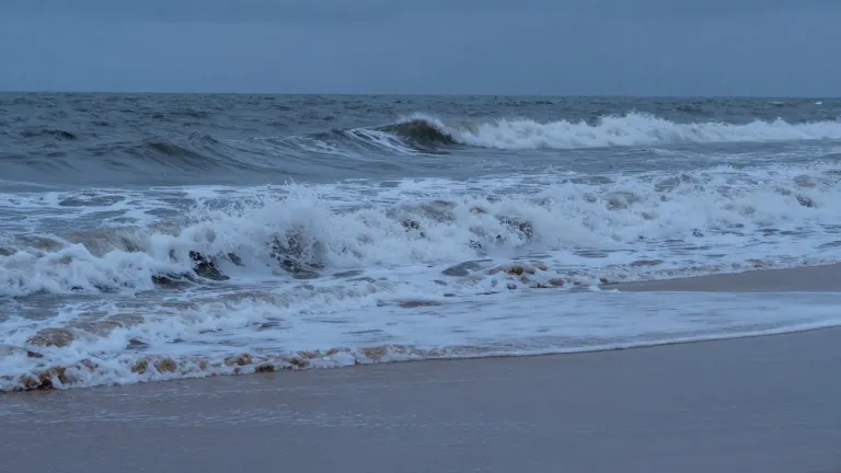
Residents in Newport Beach, Huntington Beach, and Laguna Beach should prepare for wet and windy conditions this Halloween weekend. High surf and coastal flooding have already affected these areas this week, and meteorologists expect the weather to worsen as the holiday approaches. The most intense rainfall and wave action are projected for Saturday night and into Sunday morning.
The storm system began impacting the region earlier this week. By Wednesday, reports indicated that Friday evening would feature dropping temperatures with limited rain. However, conditions shift dramatically later in the weekend. Both AccuWeather and the National Weather Service at NOAA forecast that the storm will deliver between half an inch and one inch of rain to parts of Orange County.
Kyle Wheeler, a meteorologist for the National Weather Service, noted that the central estimate for precipitation falls within that range. He stated that while the storm could produce slightly more or less rain, the current data supports the half-inch to one-inch projection. Wheeler added that forecasters will monitor the storm's evolution as it draws closer to the coast.
Chad Merrill, a senior meteorologist and long-range weather expert for AccuWeather, warned that the primary risk involves coastal flooding. He predicted that advisory or warning levels for coastal flooding will be in effect for the weekend. These alerts will accompany rough surf and beach erosion, with the worst conditions likely occurring on Saturday afternoon and the start of Sunday.
Officials advise residents to stay away from the immediate shoreline during evening events. Trick-or-treaters and party guests are encouraged to remain more inland to avoid large waves and seawater flooding. Merrill specifically highlighted that flooding could begin while trick-or-treating is active, but the highest chance of widespread water accumulation in low-lying coastal spots is from late Saturday night through Sunday morning.
The next update on this weather system is scheduled for closer to the event time. For now, the National Weather Service and AccuWeather provide the most current data on the storm's path. Local residents are urged to check their specific weather reports before heading out for evening activities.
Source: Daily Pilot